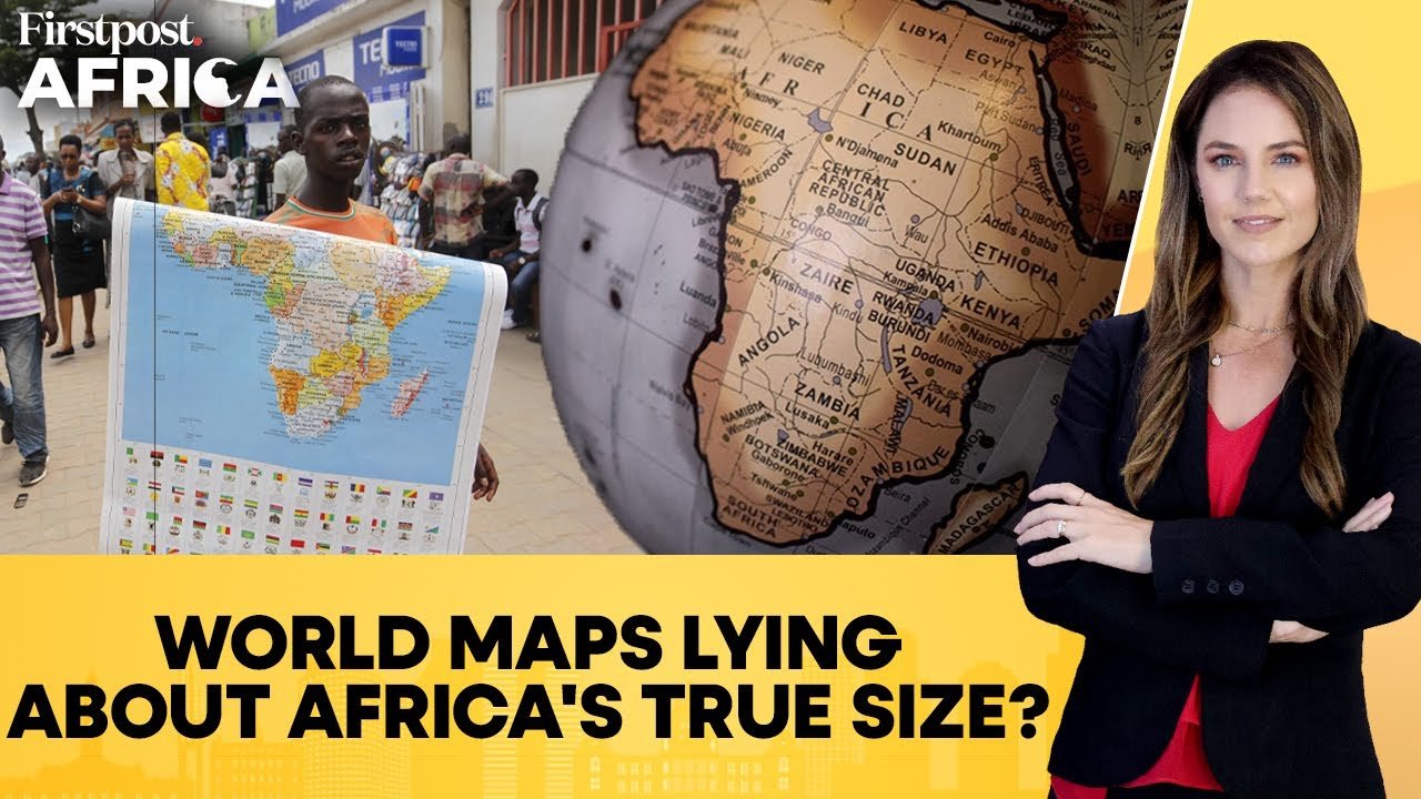
Many world maps use the Mercator projection, created in 1569 by Flemish cartographer Gerardus Mercator for navigation. While useful for sailors, it distorts the size of landmasses, enlarging regions near the poles like Europe, North America, and Greenland, while shrinking Africa and South America. On a Mercator map, Greenland appears nearly the same size as Africa, when in reality Africa is about 14 times larger. This distortion has sparked calls, especially from African leaders and educators, for a more accurate representation. Alternatives like the Equal Earth projection aim to show continents in their true proportions, challenging centuries of map bias. – First Post
African Union Urges Use of World Map Showing Africa’s True Size